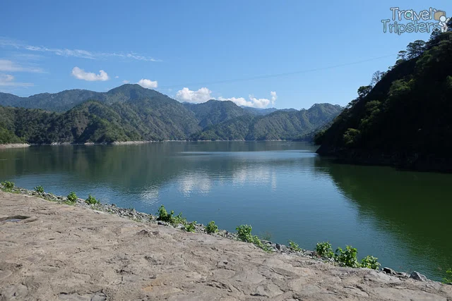
An hour and half or so after our stop at
Pinkan Jo Eatery, we arrived at another sign of civilization as we saw tourist items being sold. As we walked further, we then understood that we are at the
Mount Pulag DENR Registration.
Mt. Pulag is part of the National Integrated Protected Areas Programme (NIPAP) so this registration and orientation is required. They have a study supporting this requirement as
Mount Pulag has more than 500 species of plant, of
which 251 are endemic to the Philippines. A bird
survey identified 77 species of which 30 are endemic to the
Philippines, 13 have a highly limited distribution, and eight are
globally threatened.
There were already batches already leaving as we arrived.
Inside there were more souvenirs to purchase. Aside from here, you can also buy at the
Badabac Ranger Station.
We attempted to join in the orientation but the room was so full so our
Above the Clouds tour group was asked to join in on the next. The capacity is only around 120 persons at a time. And, they accommodate around 400 a day.
We were first asked to watch a 15-minute video presentation. After the show there's the talk and questions were entertained.
I found the boards in the orientation room more informative. I gave me a vague picture of what to expect.
There are 4 trails to reach
Mount Pulag's summit.
1. Ambangeg or Babadak Trail
Major jump-off: Ambangeg Ranger Station, Bokod, Benguet
LLA: 16°34’58?N 120°53’15?E, 2922 MASL (#3)
Days required / Hours to summit: 4-5 hours / 1-2 days
Specs: Major Climb | Difficulty 3/9 | Trail class 1-2
Trail system: Grand Cordillera Trail, Section 3
Features: Sea of Clouds | Dwarf Bamboo Slopes | Mossy Oak Forest
The
Ambangeg or Babadak Trail is the easiest trail. It's even considered a celebrity trail. Most of those who reach the summit take this trail. The distance from the jump off at the
Babadak Ranger Station to the
Mount Pulag Summit is 8 kilometers.
2. Akiki Trail
Major jump-off: Brgy. Doacan, Kabayan (Akiki)
LLA: 16°34’58″N 120°53’15″E, 2922 MASL
Hours to summit / Days required: 10-11 hours / 2-4 days
Specs: Major Climb, Difficulty 7/9 | Trail class 3
The Akiki Trail is much steeper for more experienced hikers. Yes, you have to cross a river. Camp 3 will be your camp site.
3. Tawangan or Tabego Trail
Major jump-off: Sitio Labang, Brgy. Tawangan, Kabayan
LLA: 16°34’58″N 120°53’15″E, 2922 MASL
Hours to summit / Days required: 10-11 hours / 3 days
Specs: Major Climb, Difficulty 6/9 | Trail class 3
The
Tawangan or Tabego Trail passes through the northern ridge of
Mt. Pulag over its mossy forests. It is colder to climb through this trail. It's also known as the bloody trail because of the presence of blood leeches called
Limatik.
4. Lusod or Ambaguio or Mt. Ugo-Pulag Trail
Major jump-off: Bayombong, Nueva Vizcaya
LLA: 16°34’58″N 120°53’15″E, 2922 MASL
Hours to summit / Days required: 30-40 hours / 6 days
Specs: Major Climb, Difficulty 8/9 | Trail class 4
Features: Pine forests | Mossy forests | Villages | Hanging bridges | Lakes | Waterfalls
The
Lusod or Ambaguio or Mt. Ugo-Pulag Trail is 20 kilometers in length.
It ends in either at:
- Camp 3 junction of Mt. Pulag where the Tawangan trail meets
- Camp 2 as you reach the foot of peak 3
Aside from the trails, one that really stuck to me is their
Leave No Trace Principle. Apart from the experience, we should do our part to preserve
Mount Pulag. Aside from our grumbling stomach because of our long wait, we were excited to embark on the first ever hike of our lives!
Related Posts
Ultimate Prepation Guide for Mt. Pulag
Camping at the Babadak Ranger Station: Sea of Clouds
Mount Pulag: Hike to the Summit (Peak 3) to Watch the Sunrise
Mount Pulag: Chasing the Sea of Clouds
Mount Pulag: Hiking Down Ambangeg Trail 


.jpg)


