Receive all updates via Facebook. Just Click the Like Button Below...

Join us on Facebook

Please wait..10 Seconds Cancel

Monday, January 18, 2016

Mount Pulag: Hike to the Summit (Peak 3) to Watch the Sunrise

At around 12:30 am, we all woke up and prepared for the hike to the summit of Mount Pulag. We were told to bring only those essential for the hike.  We left all our other belongings on our tent.  When we met our Above the Clouds tour guide at the Babadak Ranger Station, we were assigned our tour guide Ate Levita.  We were the last group to depart from Ranger Station.

mount pulag camp 1
Ate Levita in Blue Jacket on the Left
Since we were a big group of 11, we had implemented an implied watch your buddy system. Matt led our group.  All the boys in the group were gym-fit so they were really fast.  While, the girls were on the back part.  My friend Steph couldn't keep up with the group we went on ahead as she was with Ate Levita.  There were a lot of other hikers all towards the same goal as we were so just rode witht he foot traffic.  It was quite impossible to get lost.  

mount pulag camp 1

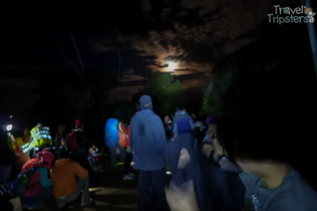
It was total darkness with only the moon and our headlamps as source of light.  Most of what I saw was only the muddy trails because that's what I'm watching out for.    By the time we reached Camp 1, we thought Steph had already given up.  Because we stayed there for a 10-minute rest and still there was no sign of her.
mt pulag camp 1

Since the boys were so eager to move on, we went on to Camp 2Camp 2 with an elevation of 2,730 MASL offers a nice view of the stars.  But, we didn't have any time to stay because we had to reach the summit before sunrise. 

mt pulag camp 1
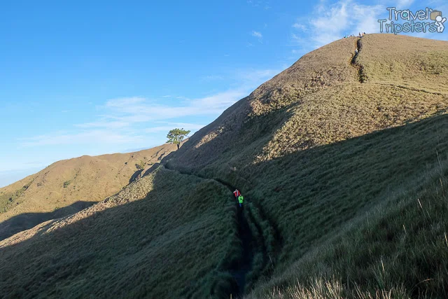
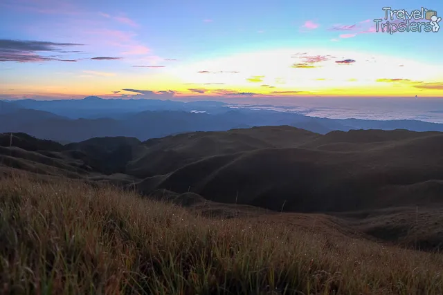
There were some campers at Camp 2 who are still cozy though.  As we left Camp 2, the guy pointed look, there are already people who reached the Summit (Peak 3).  A little later, we could already feel see daylight coming out which pressured us to go one faster. 
mt pulag
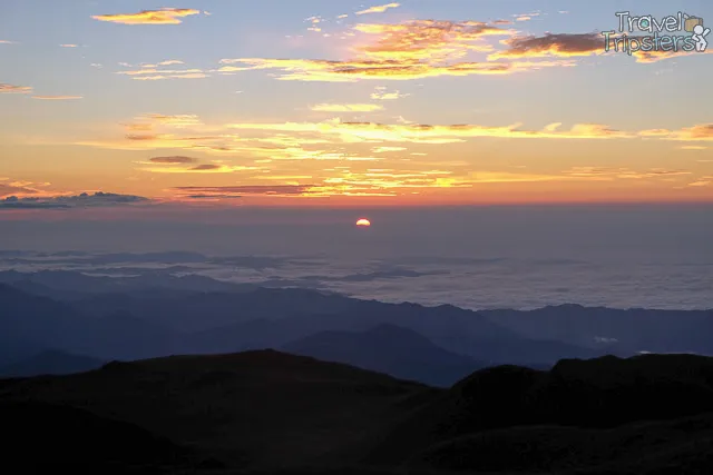
Finally, we reached Peak 1 with an elevation of approximately 2,800 MASL.  The group was split into two and we lost communication with each other.  The boys went on to Peak 2.  While we, the girls, rested here.
mt pulag peak 1
Before the sun emerged, we were all glad to see Steph with Ate Levita.  After around 15 minutes of waiting, we finally saw parts of the sun revealing itself int he middle of the sea of clouds.

mt pulag peak 1
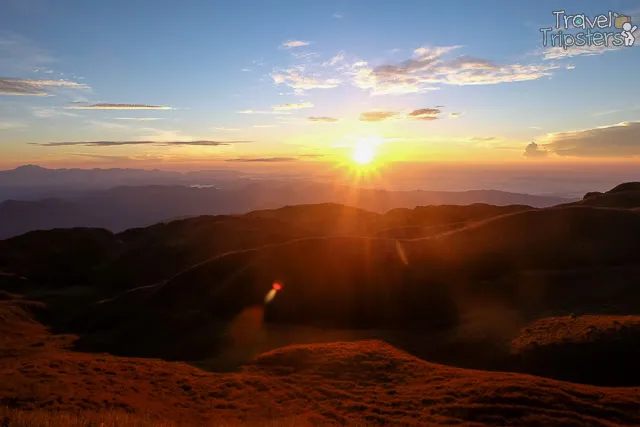
It slowly went up.  The sea of clouds withdrew further and the Cordillera mountains showed itself.
mt pulag peak 1
The coolness dissipated as the sun warmed the atmosphere.

mt pulag peak 1
We didn't know where the boys were so we had to stay put and enjoyed the view while waiting for them.

mt pulag peak 1
Beautiful right?

mt pulag peak 2
From Peak 1, we could see Peak 2 but not the Summit (Peak 3).  It only takes approximately 25 minutes from Peak 2 to Peak 3.  I kind of regret not going for the Summit but I was dead tired and hungry so I opted to save my energy for the way back.

mount pulag
Check out my muddy FILA rubber shoes.  It survived!

mount pulag
Some of us slept while waiting.

mount pulag
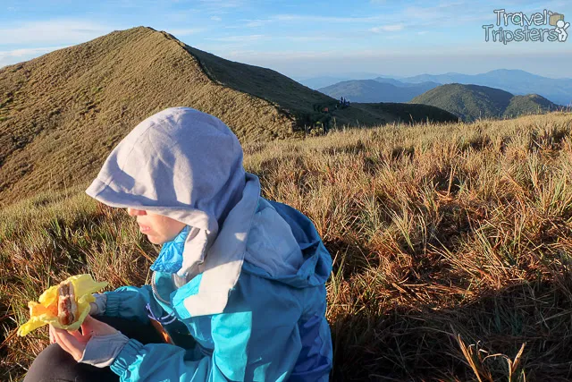
Steph indulged herself with her trail food Mc Do's 2 day-old burger that she brought all the way from Manila.

As the sun got up, we were reunited with the boys.  We asked them what was in Peak 2 and they said, there's a sign of Peak 2 and you feel like you're closer to the clouds. 

mount pulag

The boys were asking Ate Levita where is the sea of clouds?  Ate Levita said it wasn't here.  If you want we can chase the sea of clouds although it might be too late...

Looking back, I would have preferred if we left earlier.  I don't see the reason why we have to wake up later, push ourselves without any stops and then be late for sunrise.  Perhaps on my next trek to Mount Pulag, I'll depart from the Ranger Station at 11 pm!

Related Posts:
Ultimate Prepation Guide for Mt. Pulag
Mount Pulag DENR Registration: Hiker's Orientation
Camping at the Babadak Ranger Station: Sea of Clouds
Mount Pulag: Chasing the Sea of Clouds
Mount Pulag: Hiking Down Ambangeg Trail 
Saturday, January 16, 2016

Camping at the Babadak Ranger Station: Sea of Clouds

From the DENR Office for registration and orientation, we reached our destination - Babadak Ranger Station (a.k.a Ambangeg Ranger Station) in less than an hour.

mount pulag ranger station

Major jump-off: Ambangeg Ranger Station, Bokod, Benguet
LLA: 16°34’58?N 120°53’15?E, 2922 MASL (#3)
Days required / Hours to summit: 4-5 hours / 1-2 days
Specs: Major Climb | Difficulty 3/9 | Trail class 1-2
Trail system: Grand Cordillera Trail, Section 3
Features: Sea of Clouds | Dwarf Bamboo Slopes | Mossy Oak Forest

For those who will take the Ambangeg Trail, this is the major jump of point.   For us in the Above the Clouds Tour group, it also means our camping site as we were given this notice prior to the trip "starting last February 2015, Mt. Pulag park management decided to close camping sites (Camp 2 and 3) in order to help Mt. Pulag recover from all the years/months of intense human activity due to the spike in tourism." I have yet to certify this content because when we reach Camp 1 and Camp 2, they were a lot of campers there.  Camp 3 is for the campers who will take the Akiki Trail.
mount pulag ranger station
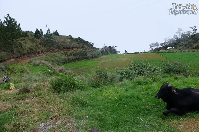
Hello Carabao!
fter our bags were unloaded from the jeep, many from the group began to set up their tents.  From our group, Matt and Andrew were also setting up their tent.  The rest of us are puzzled.  Silently, I was thinking "Here?  Really?  Beside this carabao and his carabao poo?".  Fortunately, my cousin Angelo and King King voluntarily went up to hike a bit to search for a better alternative.  A few minutes later, they called to tell us to go up because they found a good spot.  By this time, many have set up their tents.  Matt and Andrew were already testing the comforts of their tents.  Since all of us wanted to camp elsewhere, they had to ask the staffs to transfer their tents to the new spot as well.  Before we left, we witnessed the carabao attack one of the tents so they had to move.

mount pulag ranger station
After our firm insistence to camp elsewhere, our tour guides agreed provided that we also hike back down for our dinner.  We agreed.  We then hiked on our chosen camp site which involved crossing this little wooden bridge. 

mount pulag ranger station

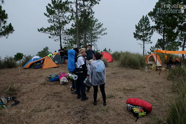
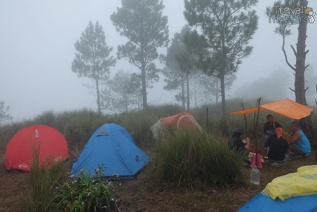
When we arrived, there was already another tour group camping at the site.  See the simple tent on the right with a orange canvass?  That's their tour guide cooking their meals.  

mount pulag ranger station
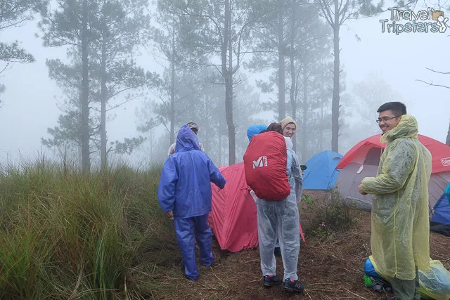
While waiting for our rented tents, our camp site became foggy and it drizzled.  We brought out Raingears (2-pieces and 1 piece poncho)  and covered our stuff with garbage bags to protect them from the rain and moisture.

mount pulag ranger station
Unfortunately, my friend Steph and I were the last to have our tent put up so we were invited by these guys to have some cover.  Too bad I forgot to get the name of their tour group.  They were really nice.  On Day 2, they even offered us some Hot Sopas which we had to decline because we have our own meals.

mount pulag ranger station
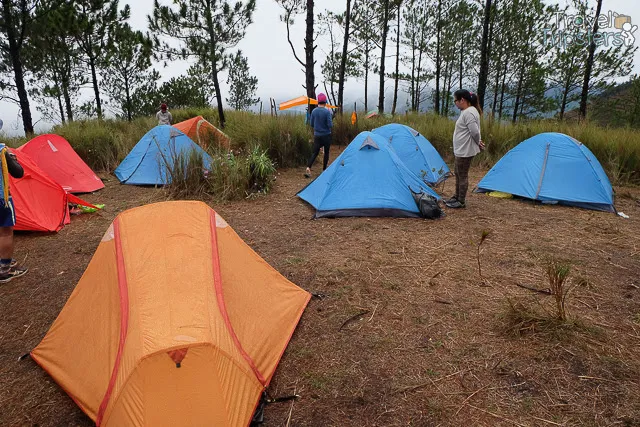
The orange tent is a tent for 3.  The rest of the tents are a tent for 2.
Because it was drizzling and we were soaked, everyone decided to take a nap as soon as our tents were pitched.  When we woke up, the fog and drizzle has already cleared.

mount pulag ranger station
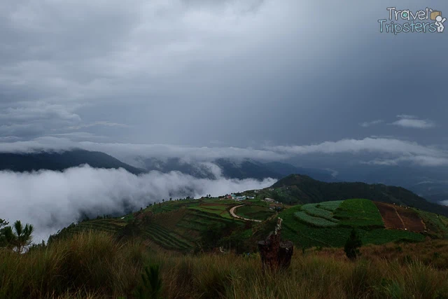
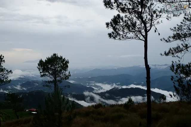
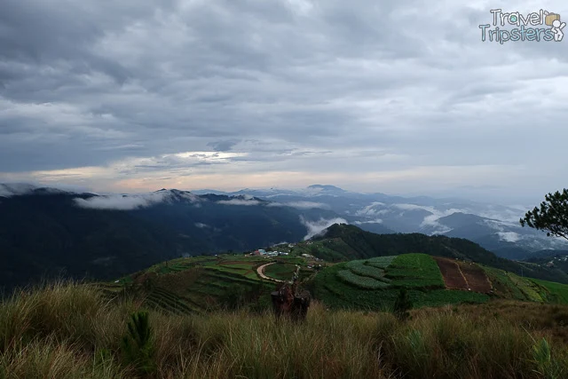
The back of our camp site has a stunning view of an ocean of clouds and fog overlooking the green fields.

mount pulag ranger station

The coolness was so comforting.  And, the air was so fresh.  I wish I could wake up to this every morning of my life. 

mount pulag ranger station
We were surrounded by tall green grass, pine trees and the sea of clouds rolling over the Cordillera Mountains.

mount pulag ranger station
After our pictorial sessions, the clouds slowly disappeared. 

mount pulag ranger station
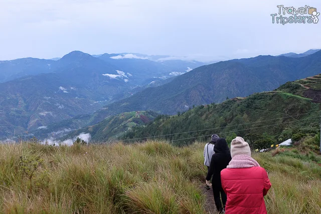
We decided to hike down to the  Babadak Ranger Station and see what they have there.

mount pulag ranger station
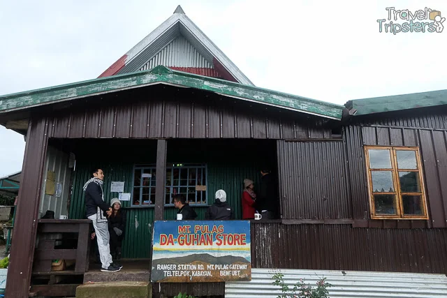
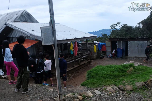
Mt. Pulag Da-Guhan Store became our official tambayan store for hot drinks, cigarette breaks and rest room.

mount pulag ranger station
Instant coffee has never tasted so good!  It warmed us up from the cool weather.

mount pulag ranger station

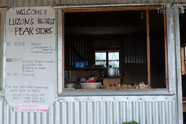
There were other stores around the area too.  You can buy meals, coffee or rice wine.  You can also rent tents, sleeping bag, stove and cookset.

mount pulag ranger station
Everyone has their own favorite store.

mount pulag ranger station
And, their preferred pay rest rooms and shower rooms.

mount pulag ranger station
Friendly respectful native kids!
Some even opted to just camp and set their tents outside houses at the Ranger Station.

mount pulag ranger station
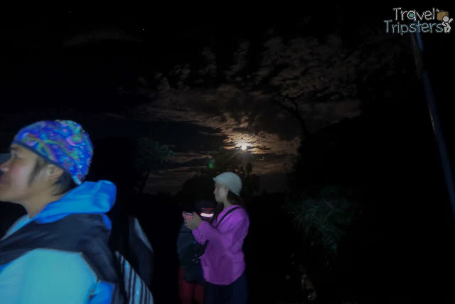
At night, we only have the full moon to light upon us.  We didn't have a starry view like those in the upper camps.  We went down for dinner with the aid of our flash lights and head lamps.  Matt led the group down.  But, Steph and I went down a bit later.  We got a little lost finding our way down.  Good thing some guys camping there pointed us to the right direction.

mount pulag ranger station

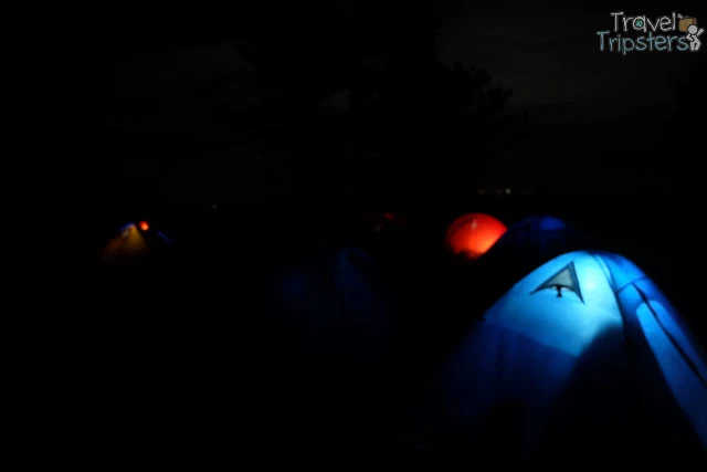
It was my first time to be inside a tent.  I discovered that I have a bit of a claustrophobia.  I had to breath out of the camp tent once in a while.  I also found it too cramp to sleep on.  In the middle of the night, my stomach also grumbled so I ate some Nova Jalapeño inside my tent.  To my surprise, my friend Steph woke up from the smell haha! =p  When I got out of the tent, I was surprised to see that they are now more tents at our sight.  I guess some from our group also transferred they during the day.  I didn't get to sleep anymore since call time is nearing.

Pros for Camping a the Babadak Ranger Station
  • Easy food and drink replenishment
  • Clean pay restrooms and shower room
  • Availability of equipment rental and assistance in set up
  • Sea of clouds view
  • Comfortable and manageable temperature
Cons for Camping a the Babadak Ranger Station
  • Not entirely in one with nature
  • No stars or constellation view
Related Posts:
Ultimate Prepation Guide for Mt. Pulag
Mount Pulag DENR Registration: Hiker's Orientation
Mount Pulag: Hike to the Summit (Peak 3) to Watch the Sunrise
Mount Pulag: Chasing the Sea of Clouds
Mount Pulag: Hiking Down Ambangeg Trail 

Japanese Garden and Yamashita Shrine: Picnic Place and Solitary Wonder in Cavinti Laguna

Our last stop in Cavinti is the Japanese Garden along Caliraya Lake .  I had the assumption that this is just a small park.

japanese garden cavinti laguna
As we were trying to find a parking slot, I couldn't help but be surprised that the parking was full and there were so many cars parked. 

japanese garden cavinti laguna
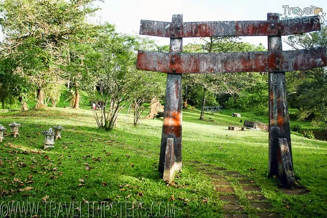
The Japanese Garden is a memorial park built by the Japanese government in the 1970s in order to commemorate the Japanese soldiers who died during the Second World War which is why you can find the Yamashita Shrine there.

japanese garden cavinti laguna
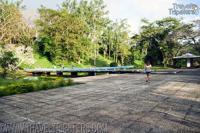
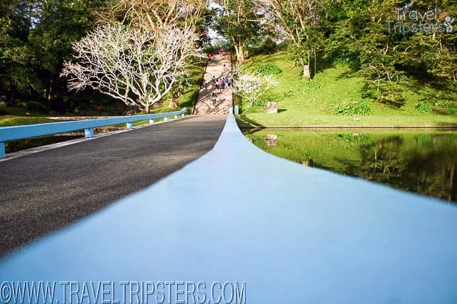
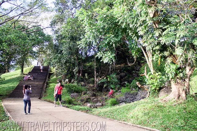
Passing through the convenience stores, we headed on towards the bridge and a huge staircase.  When we got up, we were all amazed at how big the area was! It is roughly 11 hectares in total!

japanese garden cavinti laguna
Everything was so green.  Family, lover and friends can easily find a picnic spot.
japanese garden cavinti laguna
And, if you continued on, you'll reach a beautiful place with stunning view of Caliraya Lake with the mountain and clouds as backdrop.

If you're in Cavinti Laguna, definitely include Japanese Garden on your destination list.  Bring a camera, some food and spend some relaxing time here.

Japanese Garden
Address Japanese Garden, Lumban - Caliraya - Cavinti Rd, Cavinti, Laguna, Philippines
Budget Per Person FREE  Japanese Garden Map
Payment Options N/A

Operating Hours Monday to Sunday:
(even holidays)

Mount Pulag DENR Registration: Hiker's Orientation

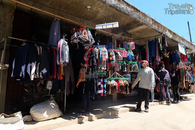
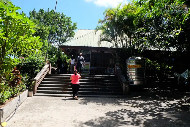
An hour and half or so after our stop at Pinkan Jo Eatery, we arrived at another sign of civilization as we saw tourist items being sold.  As we walked further, we then understood that we are at the Mount Pulag DENR Registration.

mount pulag denr
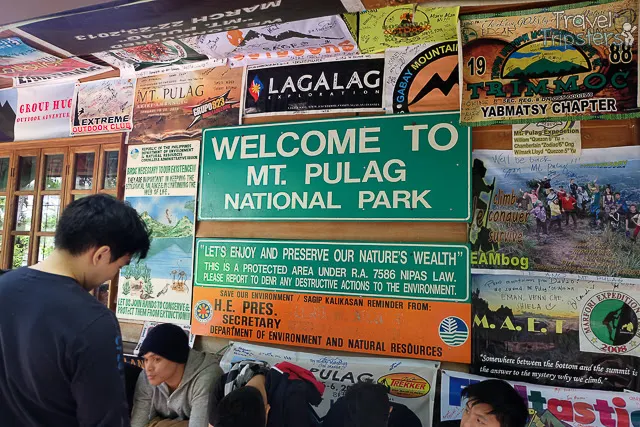
Mt. Pulag is part of the National Integrated Protected Areas Programme (NIPAP) so this registration and orientation is required.  They have a study supporting this requirement as Mount Pulag has more than 500 species of plant, of which 251 are endemic to the Philippines.  A bird survey identified 77 species of which 30 are endemic to the Philippines, 13 have a highly limited distribution, and eight are globally threatened.

mount pulag denr
There were already batches already leaving as we arrived.

mount pulag denr


mount pulag denr

mount pulag denr
Inside there were more souvenirs to purchase.  Aside from here, you can also buy at the Badabac Ranger Station

mount pulag denr
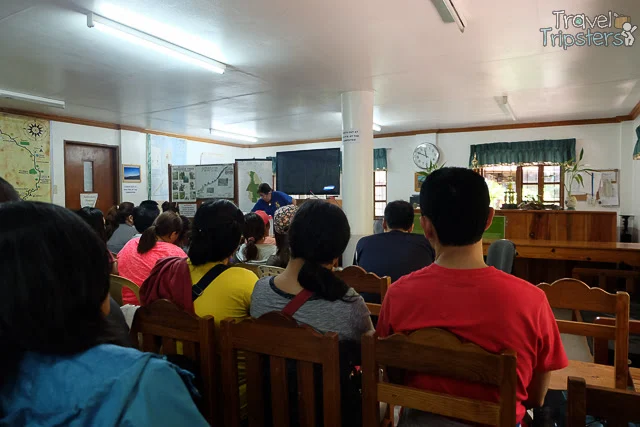
We attempted to join in the orientation but the room was so full so our Above the Clouds tour group was asked to join in on the next.  The capacity is only around 120 persons at a time.  And, they accommodate around 400 a day.

mount pulag denr
We were first asked to watch a 15-minute video presentation.  After the show there's the talk and questions were entertained.

mount pulag denr
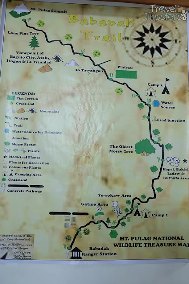
I found the boards in the orientation room more informative.  I gave me a vague picture of what to expect. 

There are 4 trails to reach Mount Pulag's summit. 

1. Ambangeg or Babadak Trail
mount pulag denr
Major jump-off: Ambangeg Ranger Station, Bokod, Benguet
LLA: 16°34’58?N 120°53’15?E, 2922 MASL (#3)
Days required / Hours to summit: 4-5 hours / 1-2 days
Specs: Major Climb | Difficulty 3/9 | Trail class 1-2
Trail system: Grand Cordillera Trail, Section 3
Features: Sea of Clouds | Dwarf Bamboo Slopes | Mossy Oak Forest

The  Ambangeg or Babadak Trail is the easiest trail. It's even considered a celebrity trail.  Most of those who reach the summit take this trail.  The distance from the jump off at the Babadak Ranger Station to the Mount Pulag Summit is 8 kilometers.
mount pulag denr
2. Akiki Trail
mount pulag denr 
Major jump-off: Brgy. Doacan, Kabayan (Akiki)
LLA: 16°34’58″N 120°53’15″E, 2922 MASL
Hours to summit / Days required: 10-11 hours / 2-4 days
Specs: Major Climb, Difficulty 7/9 | Trail class 3

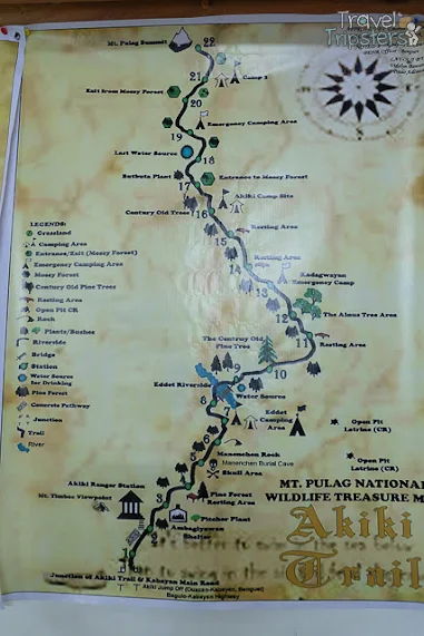
The Akiki Trail is much steeper for more experienced hikers.  Yes, you have to cross a river.  Camp 3 will be your camp site.

3. Tawangan or Tabego Trail
mount pulag denr
Major jump-off: Sitio Labang, Brgy. Tawangan, Kabayan
LLA: 16°34’58″N 120°53’15″E, 2922 MASL
Hours to summit / Days required: 10-11 hours / 3 days
Specs: Major Climb, Difficulty 6/9 | Trail class 3

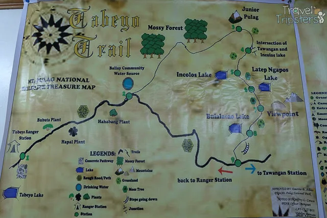
The Tawangan or Tabego Trail passes through the northern ridge of Mt. Pulag over its mossy forests.  It is colder to climb through this trail.  It's also known as the bloody trail because of the presence of blood leeches called Limatik.

4. Lusod or Ambaguio or Mt. Ugo-Pulag Trail
Major jump-off: Bayombong, Nueva Vizcaya
LLA: 16°34’58″N 120°53’15″E, 2922 MASL
Hours to summit / Days required: 30-40 hours / 6 days
Specs: Major Climb, Difficulty 8/9 | Trail class 4
Features: Pine forests | Mossy forests | Villages | Hanging bridges | Lakes | Waterfalls

The Lusod or Ambaguio or Mt. Ugo-Pulag Trail is 20 kilometers in length.  It ends in either at:
  • Camp 3 junction of Mt. Pulag where the Tawangan trail meets
  • Camp 2 as you reach the foot of peak 3
Aside from the trails, one that really stuck to me is their Leave No Trace Principle.  Apart from the experience, we should do our part to preserve Mount Pulag.  Aside from our grumbling stomach because of our long wait, we were excited to embark on the first ever hike of our lives!

Related Posts
Ultimate Prepation Guide for Mt. Pulag
Camping at the Babadak Ranger Station: Sea of Clouds
Mount Pulag: Hike to the Summit (Peak 3) to Watch the Sunrise
Mount Pulag: Chasing the Sea of Clouds
Mount Pulag: Hiking Down Ambangeg Trail
Follow Us On Instagram